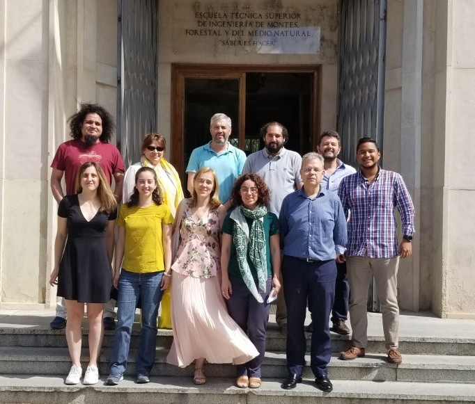
Our interest is to develop models to quantitatively and operationally evaluate and monitor the dynamics and processes of the Biosphere, including the function and structure of ecosystems in forest and agricultural environments, water resources and the effect of climate changes. To achieve this, we have joined forces and knowledge of several teachers in a multidisciplinary approach that allows us to create synergies by integrating different capacities.
A very novel line is the quantitative analysis of time series in the geographical domain that has allowed us to carry out advanced cartography of changes in the earth’s surface. This way of working falls within the concept of Big Data and the methodologies within that of Artificial Intelligence. The people who make up the group have been working on this topic for more than 10 years, having generated several theses and articles.
Lines of work
- Study of the dynamics and processes of the Biosphere.
- Agroecosystems, water resources and climate change.
- Quantitative analysis of time series, Big Data and intelligence artificial.
- Development of quantitative methodologies to analyze the dynamics of the biosphere and phenological patterns with remote sensing information.
- Use of hyperspectral information for the conservation of the soil.
- Monitoring and evaluation of forest fires, and dynamics of vegetation recovery after fires (based on remote sensing).
- Modeling forces in tillage tools.
- Energy balance in rainfed farming systems.
- Development of vegetation indices based on the spectral shape in the optical range.
- Inventory of forests and vegetation using digital models derived from LIDAR and RPAS.
- Statistical modeling of biosystem dynamics.
- Information acquisition and construction of time series to monitor the dynamics of the Earth’s surface.
Principal researcher

Palacios Orueta, Alicia
Profesora Titular de Universidad
More information
UPM Research GroupProjects
See all projectsBig Data y Data Analytics en el estudio de series temporales de imágenes satelitales, datos climáticos y mapas de suelos y vegetación
NationalBoosting Agricultural Insurance based on Earth Observation data (BEACON)
InternationalGoNEXUS – Innovative tools and solutions for governing the water-energy-food-ecosystems NEXUS under global change
International
Scientific results
See all results- Tiengo, R., Palacios-Orueta, A., Uchôa, J. & Gil, A.(2023)Metodologías de teledetección para el cambio de cobertura y uso del suelo en áreas costeras e islas oceánicas: una revisión sistemáticaBooks / Book chaptersJCR
- Sáenz, C., Cicuéndez López-Ocaña, V.M., Recuero Pavón, L., Wiese, K., Palacios Orueta, A. & Litago Lavilla, J.J.(2023)Analysis and Modeling of Rainfed Crops Dynamics Based on NDVI Time Series in Central SpainBooks / Book chaptersJCR
- Cicuéndez, V., Litago, J., Sánchez-Girón, V., Román-Cascón, C., Recuero, L., Saénz, C., Yagüe, C. & Palacios-Orueta, A.(2023)Dynamic relationships between gross primary production and energy partitioning in three different ecosystems based on eddy covariance time series analysisFrontiers in Forests and Global Change, 6, 1017365.PapersJCR
- Recuero Pavón, L.(2021)Remote sensing time series analysis to assess vegetation dynamics at different scalesDoctoral thesesJCR
