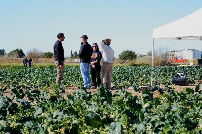
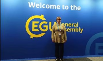
Once again this year, CEIGRAM travelled to Vienna to take part in the General Assembly of the European Geosciences Union (EGU), held from 3 to 8 May. This international conference, one of the most important in Earth Sciences, brings together thousands of researchers from around the world with a common purpose: to share advances, discuss ideas and build bridges between disciplines. For CEIGRAM, the EGU is an event the centre has not missed for over 15 years and which has established itself as one of its key platforms for international scientific exchange.
Translated with DeepL.com (free version)
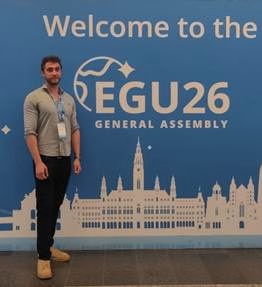
At the 2026 conference, CEIGRAM was represented in Vienna by researchers Adrián Berzal and Faten Ksantini, from the Complex Systems Group and the Agricultural Systems Group (AgSystem) at the UPM, who shared the progress made in their respective doctoral theses. Ernesto Sanz and Luz Karime Atencia, recently appointed Assistant Professors at the ETSIAAB, were also able to present their work at EGU26.
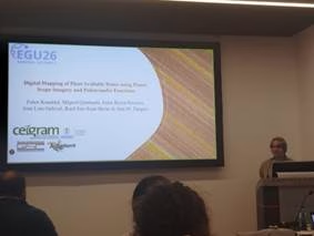
Faten Ksantini opened CEIGRAM’s programme on Monday 4 May with an oral presentation entitled “Digital Mapping of Plant Available Water Using PlanetScope Imagery and Pedotransfer Functions”. Her work addresses one of the challenges of precision agriculture: gaining a detailed understanding of the spatial variability of soil properties without relying solely on costly field sampling.
To this end, Faten developed soil profile transfer functions using multiple linear regression, combining high-resolution satellite imagery (PlanetScope, at 3 metres) with topographical data, to map key soil properties such as texture and organic matter. Using these maps, management zones were delineated based on the water available to plants, providing farmers with a detailed snapshot of their plot to help them make priority decisions without the need for costly field sampling.
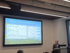
On the second day, Faten Ksantini also presented Ernesto Sanz’s paper, entitled “Multifractal fingerprints of rain events on soil moisture and respiration in a Mediterranean grassland”. The research seeks to answer how the soil of a Mediterranean grassland reacts after rainfall, and how that reaction changes depending on whether the year is dry or wet. To this end, the study analyses time series of soil moisture, temperature and soil respiration in El Escorial, comparing a relatively wet year (2022) with a dry one (2024), using multifractal analysis techniques. The results show that, in dry years, carbon and moisture are more strongly coupled following each rainfall event, which could be a sign that the ecosystem is approaching critical stress thresholds. Identifying these patterns at the event level opens the door to more adaptive management strategies in Mediterranean grasslands.
Luz Atencia presented her research, “Model Validation for Estimating Stem Water Potential in Merlot Grapevines Using Thermal UAV-Based Imagery”, via a virtual session, on how to estimate the water status of grapevines using thermal imagery captured by drones. Estimating stem water potential requires slow and laborious fieldwork, whereas drones equipped with thermal cameras offer a much more agile and scalable alternative. Her results confirm that thermal indices captured from the air are useful for monitoring the water status of grapevines, although they also show that the models may need to be recalibrated according to the environmental conditions of each growing season.
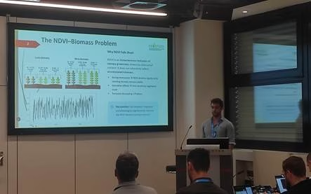
For his part, Adrián Berzal presented his research on the relationship between the NDVI vegetation index (derived from satellite imagery) and the actual biomass of Mediterranean grasslands (“Relationship between NDVI and biomass in Mediterranean grasslands under climatic variability”), assessing the extent to which remote sensing data can reliably represent what is happening on the ground. The study was carried out in three representative areas of the Community of Madrid (Piñuecar, Colmenar Viejo and Tielmes) and combines time series of MODIS images with simulations from the SIMPAST eco-hydrological model.
Adrián highlights the fundamental value of this type of approach: remote sensing enables vegetation to be monitored continuously, objectively and on a large scale, offering a clear advantage over traditional field methods. And when combined with eco-hydrological models such as SIMPAST, it opens up new opportunities to improve land management and advance our understanding of how these ecosystems respond to climate change.
The papers presented are the result of collaborative research projects in which the following researchers, amongst others, have also participated: Carlos G. H. Díaz-Ambrona, Andrés Almeida, Juan José Martín Sotoca, Miguel Quemada, Jose L. Gabriel and Ana María Tarquis. International conferences of the stature of the EGU provide an opportunity not only to present findings, but also to listen and engage in debate, as well as to network with researchers from around the world. We hope to continue participating in future editions.