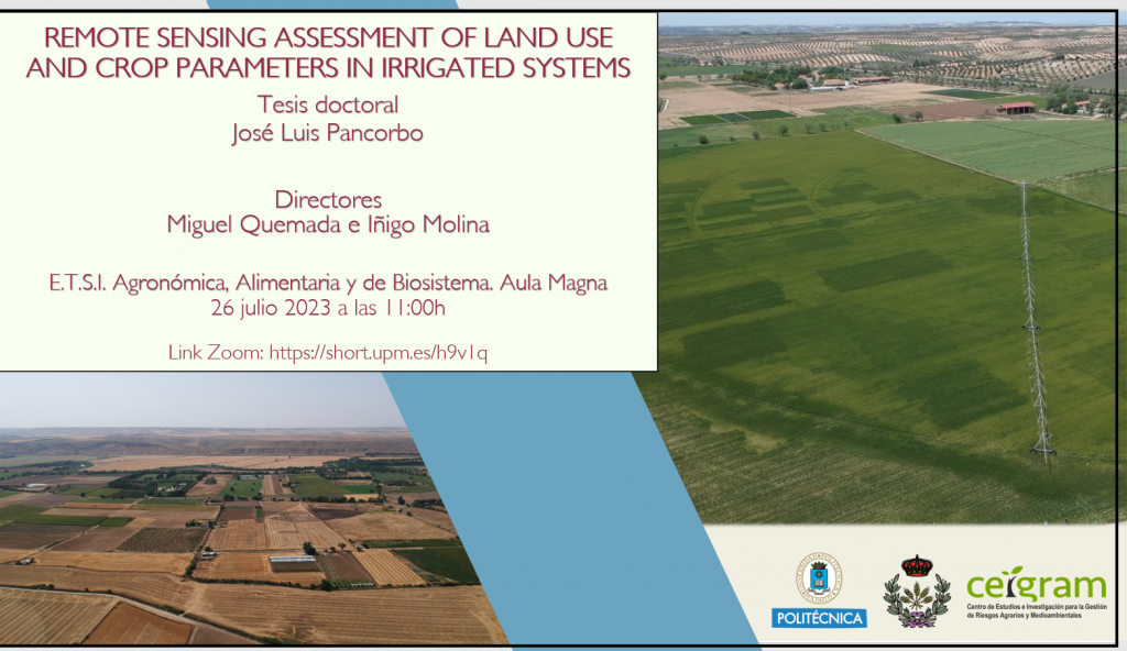
Desde el CEIGRAM nos complace comunicaros que el acto de defensa de la Tesis Doctoral (programa de Doctorado en Tecnología Agroambiental para una Agricultura Sostenible) de José Luis Pancorbo, investigador del CEIGRAM y del grupo de investigación AgSystems, tendrá lugar el día miércoles 26 de julio a las 11:00h en el Aula Magna de la Escuela Técnica Superior de Ingeniería Agronómica, Alimentaria y de Biosistemas (UPM).
Título de la tesis: Remote sensing assessment of land use and crop parameters in irrigated systems
Alumno: José Luis Pancorbo
Directores de tesis: Miguel Quemada Sáenz-Badillos e Iñigo Molina
Fecha y hora de comienzo: 26/07/2023, 11:00h
Lugar: Aula Magna del Edificio de Agrónomos, ETSIAAB
La presentación se podrá seguir vía online también. A continuación la información.
Enlace al zoom: https://upm.zoom.us/j/81288034232?pwd=SzQ5TC9FbmhKbU1BWUkzcWVyejVpQT09
ID de reunión: 812 8803 4232
Código de acceso: 499856
La presentación se podrá seguir vía online, más no será posible interactuar con el doctorando o con el tribunal de la defensa vía remota. El enlace solo tendrá el propósito de retransmitir el acto de defensa.

Remote sensing assessment of land use and crop parameters in irrigated systems
Remote sensing can contribute to reduce the environmental impact of agricultural systems by measuring crop parameters to inform management decisions at field and regional scales. At the field scale, it allows assessing the spatial variation of crop status to adjust water and nitrogen (N) applications and predict harvest parameters. At the regional scale, remote sensing allows monitoring crop land use to support government management decisions related to water distribution or rural development. This thesis analyzes the performance of different remote sensing systems and modeling techniques to monitor crop parameters at field and regional scale, with a focus on modern satellite imagery.
For field-scale monitoring, we compared remote sensing information with ground-truth measurements at different growth stages (GS) to improve the adjustment of N fertilization and irrigation rates and the prediction of winter wheat traits (yield, grain protein concentration (GPC) and N output). For this purpose, we compared the performance of spectral vegetation indices (VIs), planar-domain indicators, ensemble modeling approaches combining information from different sensors and a hybrid artificial neural network-PROSAIL-PRO method. The suitability of the methods was determined with acquisitions collected at field level with a spectroradiometer, at 300 m with a hyperspectral and a thermal sensor and with different satellite platforms. Additionally, the accuracy of atmospherically corrected reflectance values acquired by two satellites were validated with the field-level acquisitions. These analyses were conducted in a winter wheat (Triticum aestivum L.) field experiment combining four N and two water levels in central Spain over 2 years.
At the regional scale, we determined the trends of the farming strategies during a multi-year drought. For this purpose, crop land use maps were created following a multiple endmember spectral mixture analysis (MESMA) applied to a time series of hyperspectral AVIRIS imagery (350 – 2500 nm). MESMA classifies images by decomposing each pixel into subpixel fractional covers of land use classes. These analyses were conducted over 2334 km2 in the Central Valley of California from 2013 to 2018.
This thesis showed that analyzing together spectral and thermal information enables simultaneous adjustment of N and water application to match crop demand. Combining a VI related to chlorophyll with another related to biomass improved N status assessment by reducing soil background noise at early GS and minimizing the effect of the water status that was evident in most VIs. The temperature-based indicators were a reliable method for adjusting irrigation because they were only affected by the water and not by the N levels. The water status assessment improved when the soil background noise was compensated using a VI. For the prediction of winter wheat traits, it was found that combining indicators related to different crop parameters with ensemble modeling approaches improved the prediction. The yield was the best estimated trait, achieving similar results with the hyperspectral sensor and with the open-access multispectral satellite Sentinel-2. The GPC prediction was the most challenging, and the results revealed the importance of using hyperspectral short-wave infrared (SWIR) bands. The SWIR bands that cover the protein absorption region improved the prediction of the N-related traits (GPC and grain N output) with both sensors. The hybrid method that estimates crop parameters using the entire spectra presented better results than the VIs based on few bands. This thesis confirmed the suitability of the hybrid method applied to Sentinel-2 for estimating the N status in all GSs and for predicting traits. The reflectance values of Sentinel-2 atmospherically corrected with Sen2Cor, MODTRAN and FLAASH models matched the on-ground spectral data. However, the WorldView-3 satellite displayed significant differences that were attributed to acquisitions under steep off-nadir view angles (24.5o and 39.1o). This thesis proposed and validated an empirical signal normalization procedure that allowed compensating the angular-induced effects and coupling Sentinel-2 and WorldView-3 imagery.
Remote sensing assessment of land use at regional scale was validated with the good agreement between the MESMA results and the official crop reports. Additionally, the MESMA results revealed an increase in non-cultivated area during the drought that was not reported by the crop reports. This was achieved thanks to the narrow SWIR bands of the AVIRIS sensor that allow distinguishing between soil and crop residue. AVIRIS is currently used as part of the NASA Surface Biology and Geology Mission (SBG) preparatory campaigns that aims to acquire sub-monthly global imagery with a satellite carrying AVIRIS and a thermal sensor. The results of this thesis confirmed the suitability of this mission for adjusting N and irrigation rates due to the simultaneous acquisition of thermal and spectral data, and to provide accurate prediction of yield, GPC and grain N output, and identification of non-cultivated fields.
